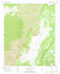
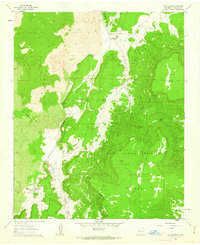
1961 Map of North Pasture
USGS Topo · Published 1978About this map
El Malpais dominates this 1961 landscape, where expansive fields of Lava define the terrain alongside the sharp rise of Cebollita Mesa. This area of New Mexico, surveyed in the early 1960s, highlights a stark environment shaped by volcanic activity and seasonal water management. The mapping records a high desert ranching economy dependent on scattered resources such as North Pasture Tank and numerous isolated wells, including East Windmill and the North Windmills.
Find a feature on this map
22 named features on this map. Tap any name to fly to it.
Don’t see what you’re looking for? This feature index may not catch every label — zoom into the map to look around manually.
Map Details
Editions of this 1961 North Pasture Map
2 editions found
Other maps of this area

1917 · Broom Mountain
USGS Topo · 1:125,000

1954 · Saint Johns
USGS Topo · 1:250,000

1954 · Socorro
USGS Topo · 1:250,000

1957 · Saint Johns
USGS Topo · 1:250,000

1958 · Socorro
USGS Topo · 1:250,000

1958 · Saint Johns
USGS Topo · 1:250,000
1961 · North Pasture
USGS Topo · 1:24,000
1961 · Arrosa Ranch
USGS Topo · 1:24,000
1961 · Laguna Honda
USGS Topo · 1:24,000
1961 · Los Pilares
USGS Topo · 1:24,000