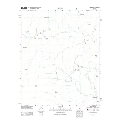
2011 Map of North Peak
USGS Topo · Published 2011About this map
Doll Baby Ranch and the N B Ranch anchor the northern reaches of this Arizona landscape, situated along the winding course of the East Verde River. This 2011 survey documents a network of canyons and high desert terrain where access is defined by remote routes like the Doll Baby Trailhead and Mineral Creek Trailhead. The map reveals a land structured by water and elevation, from the heights of North Peak and Snowstorm Mountain down to the drainage systems of Rye Creek and Saint Johns Creek.
Find a feature on this map
72 named features on this map. Tap any name to fly to it.
Don’t see what you’re looking for? This feature index may not catch every label — zoom into the map to look around manually.
Map Details
Editions of this 2011 North Peak Map
This is the sole edition of this map. No revisions or reprints were ever made.
Other maps of this area
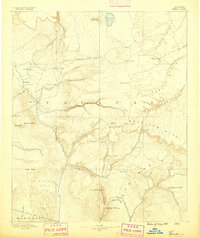
1887 · Verde
USGS Topo · 1:250,000
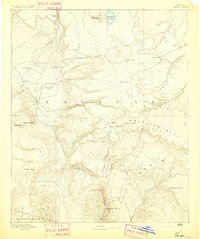
1892 · Verde
USGS Topo · 1:250,000
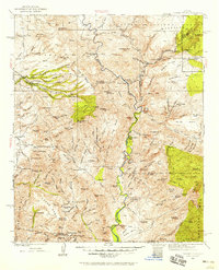
1929 · Turret Peak
USGS Topo · 1:125,000
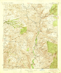
1933 · Turret Peak
USGS Topo · 1:125,000
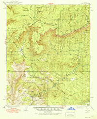
1934 · Pine
USGS Topo · 1:62,500
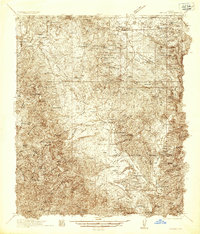
1936 · Payson
USGS Topo · 1:48,000
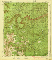
1940 · Pine
USGS Topo · 1:62,500
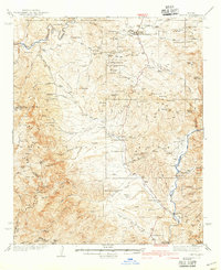
1942 · Payson
USGS Topo · 1:62,500
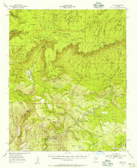
1952 · Pine
USGS Topo · 1:62,500
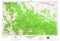
1954 · Holbrook
USGS Topo · 1:250,000