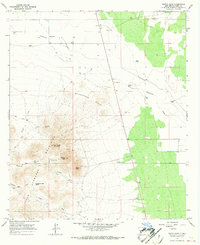
1965 Map of North Peak
USGS Topo · Published 1967About this map
The Tres Hermanas Mountains dominate the southern landscape of this 1960s Luna County survey, rising sharply above the surrounding desert floor. Centered on the trio of North Peak, Middle Peak, and South Peak, the terrain reveals a history of land use defined by mineral prospecting and cattle ranching in an arid environment. The presence of the Lindy Ann Mine and various Gravel Pits suggests localized extraction efforts, while a network of Jeep Trails provides access to remote landmarks like Manning Canyon.
Find a feature on this map
23 named features on this map. Tap any name to fly to it.
Don’t see what you’re looking for? This feature index may not catch every label — zoom into the map to look around manually.
Map Details
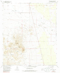
Editions of this 1965 North Peak Map
2 editions found
Other maps of this area

1899 · Deming
USGS Topo · 1:125,000

1915 · Deming
USGS Topo · 1:125,000

1917 · Hermanas
USGS Topo · 1:62,500

1917 · Columbus
USGS Topo · 1:62,500

1918 · Columbus
USGS Topo · 1:62,500

1918 · Hermanas
USGS Topo · 1:62,500

1920 · Columbus
USGS Topo · 1:62,500

1943 · Hermanas
USGS Topo · 1:62,500

1953 · El Paso
USGS Topo · 1:250,000

1955 · Las Cruces
USGS Topo · 1:250,000