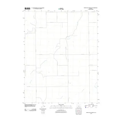
2010 Map of North Plum Creek NE
USGS Topo · Published 2010About this map
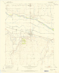
Granada Creek meanders across this high plains landscape in eastern Colorado, defining the drainage patterns of an area dominated by an extensive rectangular road grid. This agricultural and ranching territory is largely organized by local thoroughfares such as County Road BB and County Road X, which facilitate movement between scattered homesteads and grazing lands. The waterway network is the most prominent natural feature, including the seasonal flows of Wolf Creek in the northwest and Durkee Creek and Plum Creek in the southeast. The arrangement of these roads, including secondary routes like County Rd 22 and County Rd 27, reflects the systematic land surveys of the American West, where topography like the shallow creek beds often dictates the occasional breaks in the rigid section-line pathing.
Find a feature on this map
19 named features on this map. Tap any name to fly to it.
Don’t see what you’re looking for? This feature index may not catch every label — zoom into the map to look around manually.
Map Details
Editions of this 2010 North Plum Creek NE Map
This is the sole edition of this map. No revisions or reprints were ever made.
Other maps of this area
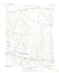
1890 · Granada
USGS Topo · 1:125,000
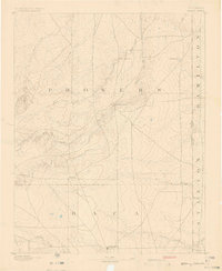
1891 · Albany
USGS Topo · 1:125,000
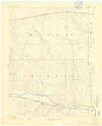
1892 · Granada
USGS Topo · 1:125,000
1893 · Albany
USGS Topo · 1:125,000
1894 · Granada
USGS Topo · 1:125,000
1952 · Carlton
USGS Topo · 1:24,000
1953 · Holly West
USGS Topo · 1:24,000
1953 · Granada
USGS Topo · 1:24,000

1954 · Lamar
USGS Topo · 1:250,000

1955 · La Junta
USGS Topo · 1:250,000