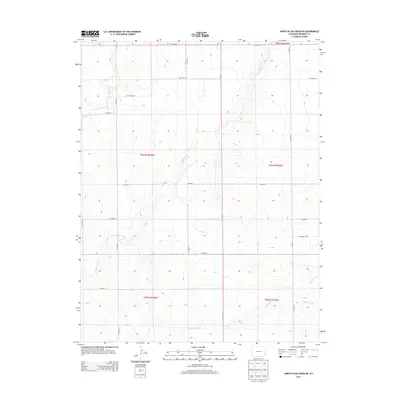
2013 Map of North Plum Creek NE
USGS Topo · Published 2013About this map
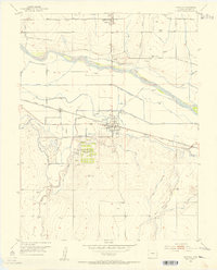
Granada Creek and Wolf Creek define the drainage patterns of this high plains landscape in eastern Colorado, where the terrain is marked by the systematic grid of the Public Land Survey System. The map reveals a highly structured agricultural and ranching environment, divided into sections such as t024s r044w and t024s r043w. Transportation across this expansive territory is facilitated by a network of rural routes, including Co Road BB and Co Road AA, which follow the township and range lines. In the southeast, Plum Creek and Durkee Creek converge, illustrating the subtle topographical variations that dictate the flow of water and the placement of local infrastructure in Prowers County.
Find a feature on this map
23 named features on this map. Tap any name to fly to it.
Don’t see what you’re looking for? This feature index may not catch every label — zoom into the map to look around manually.
Map Details
Editions of this 2013 North Plum Creek NE Map
This is the sole edition of this map. No revisions or reprints were ever made.
Other maps of this area
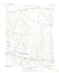
1890 · Granada
USGS Topo · 1:125,000
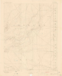
1891 · Albany
USGS Topo · 1:125,000
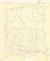
1892 · Granada
USGS Topo · 1:125,000
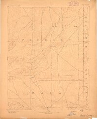
1893 · Albany
USGS Topo · 1:125,000
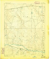
1894 · Granada
USGS Topo · 1:125,000
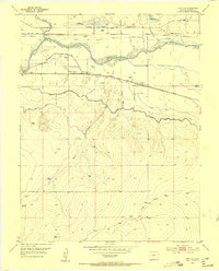
1952 · Carlton
USGS Topo · 1:24,000
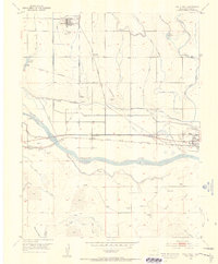
1953 · Holly West
USGS Topo · 1:24,000
1953 · Granada
USGS Topo · 1:24,000

1954 · Lamar
USGS Topo · 1:250,000

1955 · La Junta
USGS Topo · 1:250,000