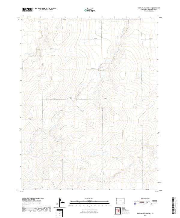
2022 Map of North Plum Creek NE
USGS Topo · Published 2022About this map
Granada Cr and Wolf Cr wind through the open landscape of Prowers County in this 2022 U.S. Geological Survey study. The terrain is defined by a sparse network of section-line roads, such as Co Rd 88 and Co Rd 27, which mark the vast agricultural and grazing lands of southeastern Colorado. This modern topographic record captures the area's characteristic drainage patterns, with Durkee Cr and Plum Cr feeding into larger systems beyond the quadrangle's edges. The layout of the roads, including Co Rd 22 and Rd Ww, reflects the enduring Public Land Survey System that continues to organize the rural development of this high-plains region.
Find a feature on this map
20 named features on this map. Tap any name to fly to it.
Don’t see what you’re looking for? This feature index may not catch every label — zoom into the map to look around manually.
Map Details
Editions of this 2022 North Plum Creek NE Map
This is the sole edition of this map. No revisions or reprints were ever made.
Other maps of this area

1890 · Granada
USGS Topo · 1:125,000

1891 · Albany
USGS Topo · 1:125,000

1892 · Granada
USGS Topo · 1:125,000

1893 · Albany
USGS Topo · 1:125,000

1894 · Granada
USGS Topo · 1:125,000

1952 · Carlton
USGS Topo · 1:24,000

1953 · Holly West
USGS Topo · 1:24,000

1953 · Granada
USGS Topo · 1:24,000

1954 · Lamar
USGS Topo · 1:250,000

1955 · La Junta
USGS Topo · 1:250,000