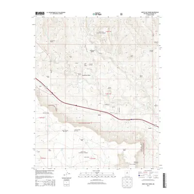
2013 Map of North San Ysidro
USGS Topo · Published 2013About this map
The Pecos River valley carves through the heart of this San Miguel County landscape, defining the settlement patterns of North San Ysidro and South San Ysidro. This high-elevation terrain is characterized by massive landforms like Glorieta Mesa and Gusano Mesa, which tower over the river corridor and the transit lines that follow it. Much of the area is protected within the Santa Fe National Forest, where deep drainages like Los Alamitos Canyon and Apache Canyon create a complex system of ridges and arroyos.
Find a feature on this map
52 named features on this map. Tap any name to fly to it.
Don’t see what you’re looking for? This feature index may not catch every label — zoom into the map to look around manually.
Map Details
Editions of this 2013 North San Ysidro Map
This is the sole edition of this map. No revisions or reprints were ever made.
Other maps of this area

1889 · Las Vegas
USGS Topo · 1:125,000

1889 · Santa Fe
USGS Topo · 1:125,000

1890 · Bernal
USGS Topo · 1:125,000

1891 · Bernal
USGS Topo · 1:125,000

1891 · Las Vegas
USGS Topo · 1:125,000

1893 · Las Vegas
USGS Topo · 1:125,000

1894 · Santa Fe
USGS Topo · 1:125,000

1894 · Bernal
USGS Topo · 1:125,000

1894 · Lamy
USGS Topo · 1:125,000

1954 · Santa Fe
USGS Topo · 1:250,000