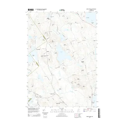
2014 Map of North Sebago
USGS Topo · Published 2014About this map
Peabody Pond dominates the central landscape of this western Maine region, surrounded by a network of high points including Bald Pate Mountain, Accomac Mountain, and Douglas Hill. The area is characterized by small, dispersed settlements like South Bridgton, Sebago Center, and Convene, many of which grew around the numerous water bodies such as Holt Pond and Browns Pond. This topography illustrates a traditional New England pattern of upland farming and lakeside residency.
Find a feature on this map
144 named features on this map. Tap any name to fly to it.
Don’t see what you’re looking for? This feature index may not catch every label — zoom into the map to look around manually.
Map Details
Editions of this 2014 North Sebago Map
This is the sole edition of this map. No revisions or reprints were ever made.
Other maps of this area

1896 · Norway
USGS Topo · 1:62,500

1896 · Sebago
USGS Topo · 1:62,500

1909 · Fryeburg
USGS Topo · 1:62,500

1910 · Kezar Falls
USGS Topo · 1:48,000

1911 · Fryeburg
USGS Topo · 1:62,500

1911 · Kezar Falls
USGS Topo · 1:62,500

1941 · Fryeburg
USGS Topo · 1:62,500

1942 · Sebago Lake
USGS Topo · 1:62,500

1943 · Sebago Lake
USGS Topo · 1:62,500

1946 · Norway
USGS Topo · 1:62,500