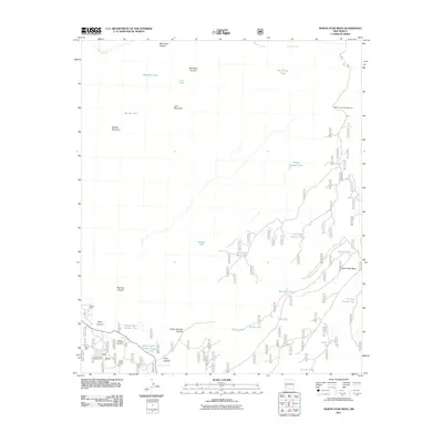
2011 Map of North Star Mesa
USGS Topo · Published 2011About this map
Loco Mountain and the expansive North Star Mesa dominate this high-elevation landscape in Grant County. The area is defined by a complex network of canyons, including Big Timber Canyon, Slick Rock Canyon, and Railroad Canyon, which drain into water systems like Sapillo Creek and Apache Creek. Human activity is centered around ranching and forest management, evidenced by V Cross Ranch and Lower Skates Corral.
Find a feature on this map
111 named features on this map. Tap any name to fly to it.
Don’t see what you’re looking for? This feature index may not catch every label — zoom into the map to look around manually.
Map Details
Editions of this 2011 North Star Mesa Map
This is the sole edition of this map. No revisions or reprints were ever made.
Other maps of this area
1909 · Silver City
USGS Topo · 1:125,000
1911 · Alum Mountain
USGS Topo · 1:125,000
1913 · Alum Mountain
USGS Topo · 1:125,000
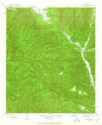
1947 · Allie Canyon
USGS Topo · 1:24,000
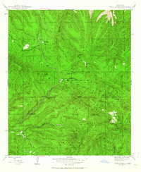
1947 · Twin Sisters
USGS Topo · 1:24,000
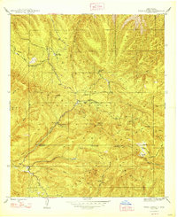
1948 · Twin Sisters
USGS Topo · 1:24,000
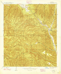
1948 · Allie Canyon
USGS Topo · 1:24,000

1954 · Tularosa
USGS Topo · 1:250,000

1954 · Silver City
USGS Topo · 1:250,000

1954 · Clifton
USGS Topo · 1:250,000