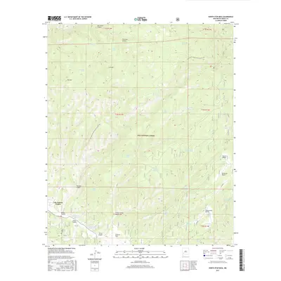
2017 Map of North Star Mesa
USGS Topo · Published 2017About this map
The Gila National Forest high country dominates this landscape, where the Continental Divide National Scenic Trail winds through a network of canyons and mesas. Modern habitation is concentrated in small pockets like Lake Roberts Heights and Gattons Park, while much of the terrain is defined by its water management for livestock or wildlife.
Find a feature on this map
49 named features on this map. Tap any name to fly to it.
Don’t see what you’re looking for? This feature index may not catch every label — zoom into the map to look around manually.
Map Details
Editions of this 2017 North Star Mesa Map
This is the sole edition of this map. No revisions or reprints were ever made.
Other maps of this area
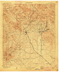
1909 · Silver City
USGS Topo · 1:125,000
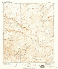
1911 · Alum Mountain
USGS Topo · 1:125,000
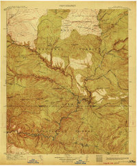
1913 · Alum Mountain
USGS Topo · 1:125,000
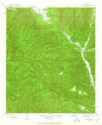
1947 · Allie Canyon
USGS Topo · 1:24,000
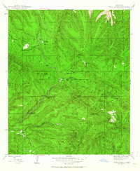
1947 · Twin Sisters
USGS Topo · 1:24,000
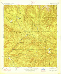
1948 · Twin Sisters
USGS Topo · 1:24,000
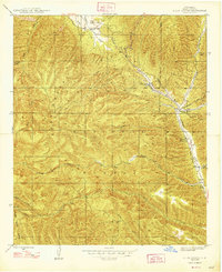
1948 · Allie Canyon
USGS Topo · 1:24,000

1954 · Tularosa
USGS Topo · 1:250,000

1954 · Silver City
USGS Topo · 1:250,000

1954 · Clifton
USGS Topo · 1:250,000