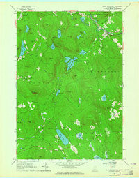
1963 Map of North Waterford
USGS Topo · Published 1964About this map
The Kezar River and Crooked River drain this high country of the White Mountain National Forest, where 1960s Oxford County was defined by its glacial ponds and family-named ridges. Small community hubs like North Waterford and East Stoneham are established near mills and gravel works, while the northern extent of Sweden and Lovell are marked by a transition from forested hills to lowland waters. Notable landmarks such as Tapawingo Camp on Keys Pond and the local Fairgrounds near North Waterford reflect the area's summer residency and agricultural gathering traditions.
Find a feature on this map
78 named features on this map. Tap any name to fly to it.
Don’t see what you’re looking for? This feature index may not catch every label — zoom into the map to look around manually.
Map Details
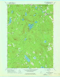
Editions of this 1963 North Waterford Map
2 editions found
Other maps of this area

1896 · Norway
USGS Topo · 1:62,500

1909 · Fryeburg
USGS Topo · 1:62,500

1911 · Fryeburg
USGS Topo · 1:62,500

1911 · Bryant Pond
USGS Topo · 1:62,500

1914 · Bethel
USGS Topo · 1:62,500

1914 · Bryant Pond
USGS Topo · 1:62,500

1940 · Bethel
USGS Topo · 1:62,500

1941 · Bethel
USGS Topo · 1:62,500

1941 · Fryeburg
USGS Topo · 1:62,500

1942 · Bryant Pond
USGS Topo · 1:62,500