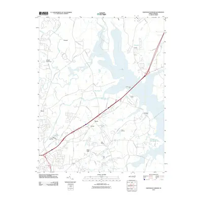
2010 Map of Northeast Durham
USGS Topo · Published 2010About this map
Falls Lake and the Neuse River dominate the eastern landscape of this North Carolina quadrangle, illustrating the significant hydrological management near the state's growing urban centers. The 2010 survey highlights several established residential and historical nodes, including Fairntosh in the north and the cluster of Gorman, Burton, and Redwood along the central transport corridors. These settlements, alongside newer developments like Glen Forest and Rocky Knoll, reflect the suburban transition occurring northeast of the city core.
Find a feature on this map
76 named features on this map. Tap any name to fly to it.
Don’t see what you’re looking for? This feature index may not catch every label — zoom into the map to look around manually.
Map Details
Editions of this 2010 Northeast Durham Map
This is the sole edition of this map. No revisions or reprints were ever made.
Other maps of this area

1943 · Durham South
USGS Topo · 1:62,500

1943 · Raleigh
USGS Topo · 1:62,500

1943 · Creedmoor
USGS Topo · 1:62,500

1944 · Creedmoor
USGS Topo · 1:62,500

1951 · Raleigh
USGS Topo · 1:62,500

1951 · Durham South
USGS Topo · 1:62,500

1951 · Durham North
USGS Topo · 1:62,500

1953 · Raleigh
USGS Topo · 1:250,000

1953 · Greensboro
USGS Topo · 1:250,000

1954 · Greensboro
USGS Topo · 1:250,000