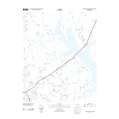
2013 Map of Northeast Durham
USGS Topo · Published 2013About this map
Gorman and the surrounding residential communities of Glen Forest and Rocky Knoll anchor the landscape of this 2013 survey. The area is defined by a dense network of suburban development and light industry, notably around Akzo Blvd and Industrial DR. The geography is deeply influenced by water, with Brinkley Lake and the Eno River providing significant hydrologic features that break up the residential corridors. Aviation and local transport are highlighted by the Lake Ridge Aero Park Airport situated near Newcombs Lake, while the rail history is suggested by the O and C Junction in the southwestern quadrant. Smaller settlements like Fairntosh and Cozart represent the persistent rural-residential character that exists alongside modern infrastructure like the Teknika Pkwy. This map provides a detailed view of the infrastructure and land use patterns in Durham County during the early 21st century.
Find a feature on this map
190 named features on this map. Tap any name to fly to it.
Don’t see what you’re looking for? This feature index may not catch every label — zoom into the map to look around manually.
Map Details
Editions of this 2013 Northeast Durham Map
This is the sole edition of this map. No revisions or reprints were ever made.
Other maps of this area

1943 · Durham South
USGS Topo · 1:62,500

1943 · Raleigh
USGS Topo · 1:62,500

1943 · Creedmoor
USGS Topo · 1:62,500

1944 · Creedmoor
USGS Topo · 1:62,500

1951 · Raleigh
USGS Topo · 1:62,500

1951 · Durham South
USGS Topo · 1:62,500

1951 · Durham North
USGS Topo · 1:62,500

1953 · Raleigh
USGS Topo · 1:250,000

1953 · Greensboro
USGS Topo · 1:250,000

1954 · Greensboro
USGS Topo · 1:250,000