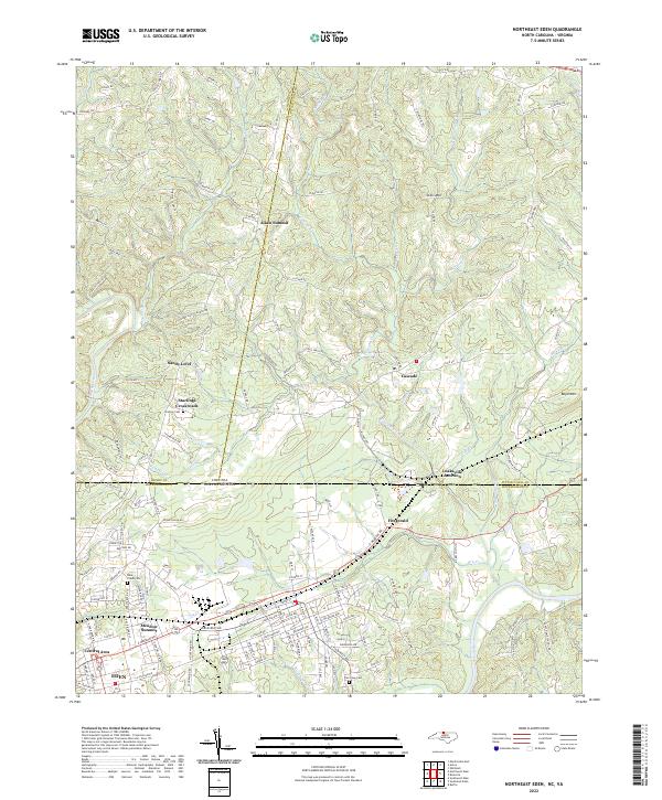
2022 Map of Northeast Eden
USGS Topo · Published 2022About this map
The northern edge of Eden and the winding course of the Dan River anchor this topographic study along the North Carolina and Virginia border. The landscape transitions from the industrial and residential corridors of Central Area and Meadow Summit into the upland terrain of the Piedmont. Evidence of long-standing community life is visible in the numerous burial grounds, including Starling Cem, Blue Creek Cem, and Dan View Cem, while smaller settlements such as Starlings Crossroads, Fitzgerald, and Cascade dot the outlying rural roads. The area's relief is defined by prominent heights like Aiken Summit, Stills Mtn, and Boyd Mtn, which overlook a complex network of waterways including Cascade Creek and Lick Fork. Local history researchers will find the rail-related geography of Leaksville Junction particularly significant, marking a point of connection in the regional transportation network just above the state line.
Find a feature on this map
134 named features on this map. Tap any name to fly to it.
Don’t see what you’re looking for? This feature index may not catch every label — zoom into the map to look around manually.
Map Details
Editions of this 2022 Northeast Eden Map
This is the sole edition of this map. No revisions or reprints were ever made.
Other maps of this area

1924 · Martinsville
USGS Topo · 1:48,000

1924 · Draper
USGS Topo · 1:48,000

1926 · Martinsville
USGS Topo · 1:62,500

1926 · Draper
USGS Topo · 1:62,500

1927 · Martinsville
USGS Topo · 1:62,500

1944 · Martinsville
USGS Topo · 1:62,500

1944 · Draper
USGS Topo · 1:62,500

1953 · Greensboro
USGS Topo · 1:250,000

1954 · Greensboro
USGS Topo · 1:250,000

1962 · Greensboro
USGS Topo · 1:250,000