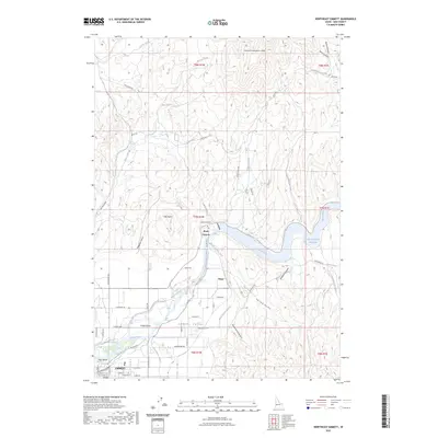
2023 Map of Northeast Emmett
USGS Topo · Published 2023About this map
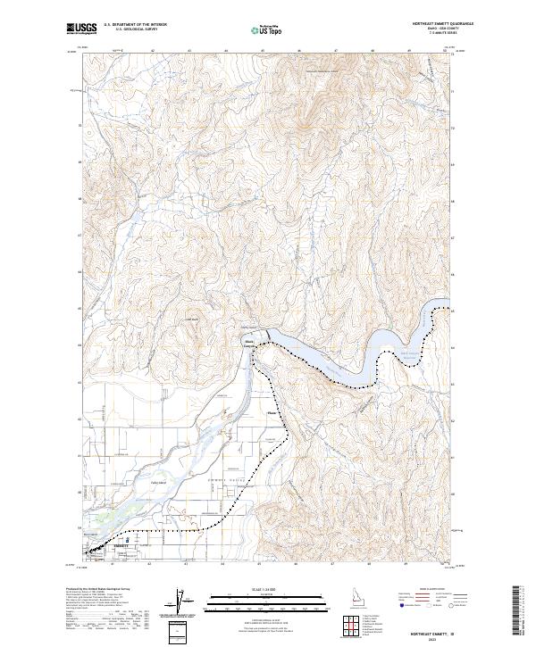
The Payette River anchors the landscape of Gem County as it flows westward through the Emmett Valley, its waters managed by a complex irrigation network including the Black Canyon Canal, Last Chance Canal, and the Farmers Cooperative Canal. This intricate system of waterways, branching out from the Black Canyon Reservoir, underscores the agricultural foundations of the region. The city of Emmett, located in the southwest corner, serves as a focal point with the Gem County Courthouse situated among established street grids like E Main St and E Idaho Blvd. North of the river, the terrain rises sharply into a series of canyons and gulches, such as Shellrock Canyon and Cherry Gulch, with prominent landmarks like Little Butte standing above the valley floor. Small settlements like Plaza and Black Canyon mark the transition between the fertile river bottom and the more arid, dissected uplands of the north.
Find a feature on this map
61 named features on this map. Tap any name to fly to it.
Don’t see what you’re looking for? This feature index may not catch every label — zoom into the map to look around manually.
Map Details
Editions of this 2023 Northeast Emmett Map
2 editions found
Other maps of this area

1892 · Boise
USGS Topo · 1:125,000

1894 · Squaw Creek
USGS Topo · 1:125,000

1897 · Boise
USGS Topo · 1:125,000

1897 · Weiser
USGS Topo · 1:125,000

1898 · Nampa
USGS Topo · 1:125,000

1953 · Montour
USGS Topo · 1:62,500

1955 · Baker
USGS Topo · 1:250,000

1955 · Boise
USGS Topo · 1:250,000

1958 · Boise
USGS Topo · 1:250,000

1959 · Baker
USGS Topo · 1:250,000