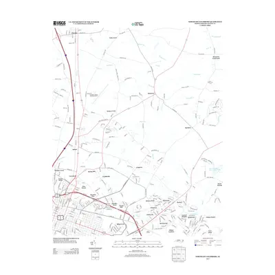
2013 Map of Northeast Goldsboro
USGS Topo · Published 2013About this map
Pikeville and the expanding northern suburbs of Goldsboro define this coastal plain landscape during a period of significant residential development. The map tracks the shift from traditional crossroads and rural junctions like Patetown, Saulston, and Musgrave Crossroads to a dense network of housing additions including Winbon Acres, Northfields, and Tiffany Gardens. These newer neighborhoods are woven between established natural features such as The Slough and Moccasin Run, showing how local drainage patterns dictated the footprint of the growing city.
Find a feature on this map
99 named features on this map. Tap any name to fly to it.
Don’t see what you’re looking for? This feature index may not catch every label — zoom into the map to look around manually.
Map Details
Editions of this 2013 Northeast Goldsboro Map
This is the sole edition of this map. No revisions or reprints were ever made.
Other maps of this area

1902 · Kenly
USGS Topo · 1:62,500

1903 · Kenly
USGS Topo · 1:62,500

1904 · Wilson
USGS Topo · 1:62,500

1953 · Rocky Mount
USGS Topo · 1:250,000

1953 · Raleigh
USGS Topo · 1:250,000

1954 · Rocky Mount
USGS Topo · 1:250,000

1954 · Raleigh
USGS Topo · 1:250,000

1957 · Goldsboro
USGS Topo · 1:62,500

1974 · Northwest Goldsboro
USGS Topo · 1:24,000

1974 · Southwest Goldsboro
USGS Topo · 1:24,000