
1974 Map of Southwest Goldsboro
USGS Topo · Published 1976About this map
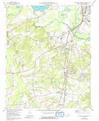
The Neuse River winds through this 1970s landscape, defining the rural character south and west of Goldsboro. The map documents a transition point for the region, where the industrial footprint of the Seaboard Coast Line railroad intersects with long-standing agricultural communities like Dudley and Brogden. To the north, the Neuse River Cut-Off illustrates efforts to manage the river's path through the low-lying terrain of Yellow Marsh.
Find a feature on this map
52 named features on this map. Tap any name to fly to it.
Don’t see what you’re looking for? This feature index may not catch every label — zoom into the map to look around manually.
Map Details
Editions of this 1974 Southwest Goldsboro Map
2 editions found
Other maps of this area

1953 · Rocky Mount
USGS Topo · 1:250,000

1953 · Raleigh
USGS Topo · 1:250,000

1954 · Rocky Mount
USGS Topo · 1:250,000

1954 · Raleigh
USGS Topo · 1:250,000

1957 · Goldsboro
USGS Topo · 1:62,500

1957 · Seven Springs
USGS Topo · 1:62,500

1974 · Grantham
USGS Topo · 1:24,000

1974 · Northwest Goldsboro
USGS Topo · 1:24,000
1974 · Princeton
USGS Topo · 1:24,000
1977 · Mount Olive
USGS Topo · 1:24,000