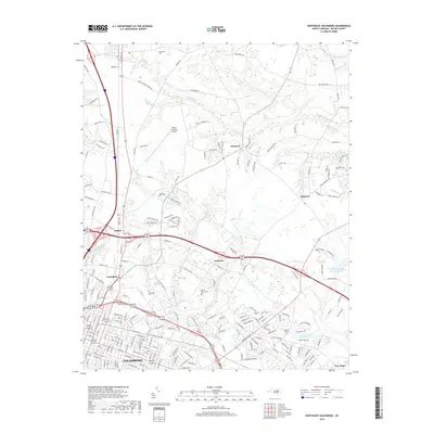
2019 Map of Northeast Goldsboro
USGS Topo · Published 2019About this map
Goldsboro serves as the primary urban center for this corner of Wayne County, where a dense network of suburban streets transitions into the agricultural reaches of eastern North Carolina. The landscape is defined by the drainage patterns of Moccasin Run and The Slough, watercourses that navigate through the flat coastal plain terrain. Local history and genealogy are well-represented through numerous established burial grounds, including Pikesville Cem, Greenleaf Cem, and Old Mill Cem, which are scattered among the outlying communities of Patetown, Saulston, and Belfast. Infrastructure and education also shape the area's character, with the Wayne Community College campus and the Wayne Executive Jetport situated near major transit corridors. This survey provides a look at the intersection of modern development and traditional rural settlements like Langston and New Hope as they appeared in the late 2010s.
Find a feature on this map
209 named features on this map. Tap any name to fly to it.
Don’t see what you’re looking for? This feature index may not catch every label — zoom into the map to look around manually.
Map Details
Editions of this 2019 Northeast Goldsboro Map
This is the sole edition of this map. No revisions or reprints were ever made.
Other maps of this area

1902 · Kenly
USGS Topo · 1:62,500

1903 · Kenly
USGS Topo · 1:62,500

1904 · Wilson
USGS Topo · 1:62,500

1953 · Rocky Mount
USGS Topo · 1:250,000

1953 · Raleigh
USGS Topo · 1:250,000

1954 · Rocky Mount
USGS Topo · 1:250,000

1954 · Raleigh
USGS Topo · 1:250,000

1957 · Goldsboro
USGS Topo · 1:62,500

1974 · Northwest Goldsboro
USGS Topo · 1:24,000

1974 · Southwest Goldsboro
USGS Topo · 1:24,000