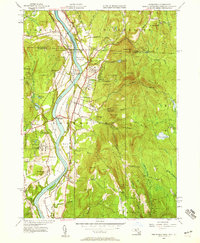
1945 Map of Northfield
USGS Topo · Published 1958About this map
The Connecticut River bisects this New England landscape, defining the borders between Franklin Co, Massachusetts, and Windham Co, Vermont. The valley floor is marked by extensive agricultural tracts like Great Meadow and Beers Plain, while the upland terrain is dominated by the Brush Mountain range. Education and rail transport appear as the primary drivers of settlement here, with the Northfield Seminary and Mt Hermon School established as prominent institutional landmarks on opposite banks.
Find a feature on this map
110 named features on this map. Tap any name to fly to it.
Don’t see what you’re looking for? This feature index may not catch every label — zoom into the map to look around manually.
Map Details
Editions of this 1945 Northfield Map
2 editions found
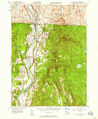
Other maps of this area

1887 · Warwick
USGS Topo · 1:62,500

1889 · Warwick
USGS Topo · 1:62,500

1890 · Greenfield
USGS Topo · 1:62,500

1891 · Brattleboro
USGS Topo · 1:62,500

1893 · Brattleboro
USGS Topo · 1:62,500

1894 · Greenfield
USGS Topo · 1:62,500

1894 · Warwick
USGS Topo · 1:62,500

1898 · Keene
USGS Topo · 1:62,500

1932 · Brattleboro
USGS Topo · 1:48,000

1932 · Warwick
USGS Topo · 1:48,000