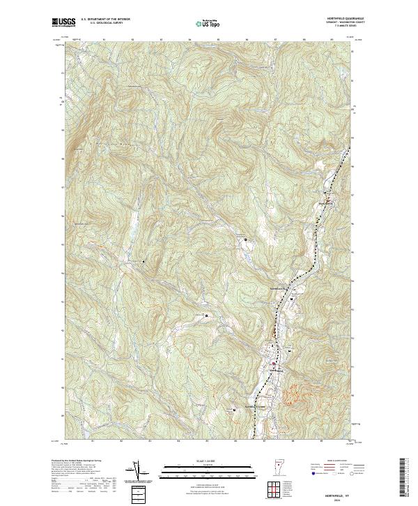
2024 Map of Northfield
USGS Topo · Published 2024About this map
Norwich University anchors the valley floor along the Dog River, serving as a central landmark in this 2024 survey of the central Vermont landscape. The settlement pattern follows the river corridor, connecting the distinct communities of Northfield, Northfield Falls, Northfield Center, and West Berlin. This alignment highlights the historical reliance on the valley for transportation and commerce, while the surrounding Northfield Mountains and peaks like Chase Mtn and Turkey Hill define the physical boundaries of local development.
Find a feature on this map
94 named features on this map. Tap any name to fly to it.
Don’t see what you’re looking for? This feature index may not catch every label — zoom into the map to look around manually.
Map Details
Editions of this 2024 Northfield Map
This is the sole edition of this map. No revisions or reprints were ever made.
Other maps of this area

1919 · Lincoln Mountain
USGS Topo · 1:62,500

1919 · Montpelier
USGS Topo · 1:62,500

1920 · Lincoln Mountain
USGS Topo · 1:48,000

1921 · Richmond
USGS Topo · 1:48,000

1921 · Lincoln Mountain
USGS Topo · 1:62,500

1921 · Montpelier
USGS Topo · 1:62,500

1922 · Barre
USGS Topo · 1:48,000

1924 · Barre
USGS Topo · 1:62,500

1924 · Camels Hump
USGS Topo · 1:62,500

1944 · Montpelier
USGS Topo · 1:62,500