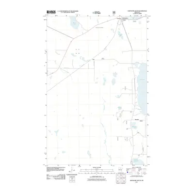
2011 Map of Northome South
USGS Topo · Published 2011About this map
Northome and the surrounding timber and lake country of Koochiching County are captured in this 2011 survey, showing the town's civic footprint including the Northome Post Office and North Municipal Park Campground. The landscape is defined by the winding course of the Popple River and the North Cormorant River, which feed into numerous water bodies like Island Lake and Bartlett Lake. Small rural clusters such as Bergville and Orth remain connected by the historic corridor of the Blue Ox Trl.
Find a feature on this map
22 named features on this map. Tap any name to fly to it.
Don’t see what you’re looking for? This feature index may not catch every label — zoom into the map to look around manually.
Map Details
Editions of this 2011 Northome South Map
This is the sole edition of this map. No revisions or reprints were ever made.
Other maps of this area

1919 · Rosy
USGS Topo · 1:62,500

1919 · Gemmell
USGS Topo · 1:62,500

1919 · Max
USGS Topo · 1:62,500

1919 · Bridgie
USGS Topo · 1:62,500

1924 · Bridgie
USGS Topo · 1:62,500

1954 · Bemidji
USGS Topo · 1:250,000

1957 · Bemidji
USGS Topo · 1:250,000

1958 · Bemidji
USGS Topo · 1:250,000

1971 · Squaw Lake
USGS Topo · 1:24,000

1971 · Funkley
USGS Topo · 1:24,000