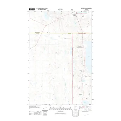
2013 Map of Northome South
USGS Topo · Published 2013About this map
The boundary between Koochiching Co and Itasca Co divides this Northwoods landscape, where the southern portion of Northome serves as the primary hub of activity. The settlement pattern follows the corridor of Us-71 and MN-46, with smaller communities like Orth and Bergville situated further south. Much of the eastern terrain is protected within the Chippewa National Forest, characterized by numerous water bodies such as Nesseth Lake, Island Lake, and the winding Popple River. Local history is anchored by several cemeteries, including Forest Hill Cem, Oakum Cem, and Bergville Cem, providing valuable points of reference for genealogists. The Northome Lookout Tower stands as a notable landmark overlooking the intersection of forest and wetland, while Bartlett Lake defines the northern municipal limits near the North Municipal Park Campground.
Find a feature on this map
26 named features on this map. Tap any name to fly to it.
Don’t see what you’re looking for? This feature index may not catch every label — zoom into the map to look around manually.
Map Details
Editions of this 2013 Northome South Map
This is the sole edition of this map. No revisions or reprints were ever made.
Other maps of this area

1919 · Rosy
USGS Topo · 1:62,500

1919 · Gemmell
USGS Topo · 1:62,500

1919 · Max
USGS Topo · 1:62,500

1919 · Bridgie
USGS Topo · 1:62,500

1924 · Bridgie
USGS Topo · 1:62,500

1954 · Bemidji
USGS Topo · 1:250,000

1957 · Bemidji
USGS Topo · 1:250,000

1958 · Bemidji
USGS Topo · 1:250,000

1971 · Squaw Lake
USGS Topo · 1:24,000

1971 · Funkley
USGS Topo · 1:24,000