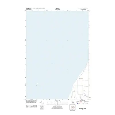
2011 Map of Northport NW
USGS Topo · Published 2011About this map
Lake Michigan dominates this coastal survey, where the northwestern tip of the Leelanau Peninsula meets the open water. The landscape is defined by the sharp rise of Bramen Hill and the small northern inlet of Christmas Cove. Settlement is concentrated near the community of Northport, with a network of local roads such as N Carlson Rd and N Old Farm Rd connecting the shoreline to the interior woodlands. A significant local landmark, the Old Indian Cemetery, is located just off E Peterson Park Rd, offering a point of connection for genealogists and local historians interested in the area's early residents. The mapping of modern routes like N Foxview Dr shows the residential development pattern along the bluffs overlooking the lake.
Find a feature on this map
18 named features on this map. Tap any name to fly to it.
Don’t see what you’re looking for? This feature index may not catch every label — zoom into the map to look around manually.
Map Details
Editions of this 2011 Northport NW Map
This is the sole edition of this map. No revisions or reprints were ever made.
Other maps of this area

1955 · Cheboygan
USGS Topo · 1:250,000

1956 · South Fox Island
USGS Topo · 1:62,500

1957 · Northport
USGS Topo · 1:62,500

1958 · Cheboygan
USGS Topo · 1:250,000

1983 · Northport
USGS Topo · 1:25,000

1983 · Omena
USGS Topo · 1:24,000
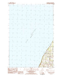
1983 · Northport NW
USGS Topo · 1:25,000
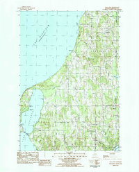
1983 · Gills Pier
USGS Topo · 1:25,000
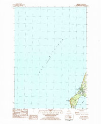
1983 · Leland
USGS Topo · 1:25,000

1984 · Charlevoix
USGS Topo · 1:100,000