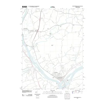
2010 Map of Northumberland
USGS Topo · Published 2010About this map
Northumberland sits at the significant confluence where the West Branch Susquehanna River meets the main branch of the Susquehanna River, a geographic focal point defining this part of central Pennsylvania. The landscape transitions from the river flats and Packers Island to the prominent heights of Montour Ridge and the Montandon Sand Dunes. In this early 21st-century record, the area maintains a mix of dense riverfront settlement and sprawling rural reaches, connected by historic paths like Sodom Rd and Mansion Rd.
Find a feature on this map
73 named features on this map. Tap any name to fly to it.
Don’t see what you’re looking for? This feature index may not catch every label — zoom into the map to look around manually.
Map Details
Editions of this 2010 Northumberland Map
This is the sole edition of this map. No revisions or reprints were ever made.
Other maps of this area

1892 · Shamokin
USGS Topo · 1:62,500

1893 · Sunbury
USGS Topo · 1:62,500

1893 · Shamokin
USGS Topo · 1:62,500

1924 · Milton
USGS Topo · 1:62,500

1935 · Hughesville
USGS Topo · 1:62,500

1943 · Shamokin
USGS Topo · 1:62,500

1943 · Sunbury
USGS Topo · 1:62,500

1950 · Harrisburg
USGS Topo · 1:250,000

1952 · Shamokin
USGS Topo · 1:62,500

1953 · Hughesville
USGS Topo · 1:62,500
Featured Places
- Sunbury, PA
- Northumberland, PA
- Monroe Township, PA
- Kapp, Point Township
- Turtleville, East Buffalo Township