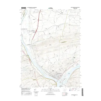
2016 Map of Northumberland
USGS Topo · Published 2016About this map
The confluence of the West Branch Susquehanna River and the Susquehanna River anchors this landscape, where the borough of Northumberland sits at the point of their meeting. In this modern survey, the river’s historical importance to regional transport is visible through the alignment of Railroad St and the presence of Packers Island, which links the larger settlement of Sunbury to its northern neighbors. The terrain is defined by the steep incline of Montour Ridge and Blue Hill, creating a natural bottleneck that has influenced the development of river-hugging communities like Kapp Heights and Chillisquaque.
Find a feature on this map
77 named features on this map. Tap any name to fly to it.
Don’t see what you’re looking for? This feature index may not catch every label — zoom into the map to look around manually.
Map Details
Editions of this 2016 Northumberland Map
This is the sole edition of this map. No revisions or reprints were ever made.
Other maps of this area

1892 · Shamokin
USGS Topo · 1:62,500

1893 · Sunbury
USGS Topo · 1:62,500

1893 · Shamokin
USGS Topo · 1:62,500

1924 · Milton
USGS Topo · 1:62,500

1935 · Hughesville
USGS Topo · 1:62,500

1943 · Shamokin
USGS Topo · 1:62,500

1943 · Sunbury
USGS Topo · 1:62,500

1950 · Harrisburg
USGS Topo · 1:250,000

1952 · Shamokin
USGS Topo · 1:62,500

1953 · Hughesville
USGS Topo · 1:62,500
Featured Places
- Sunbury, PA
- Northumberland, PA
- Monroe Township, PA
- Kapp, Point Township
- Turtleville, East Buffalo Township