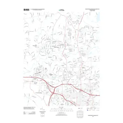
2013 Map of Northwest Durham
USGS Topo · Published 2013About this map
The Eno River winds through this landscape northwest of Durham, anchoring a region defined by established residential communities and institutional landmarks. Historic sites such as the Duke Homestead and the expansive Sarah P Duke Gardens reflect the area's deep-rooted connection to the Duke legacy and local horticultural history. The northern reaches of the city are characterized by a dense network of neighborhoods including Braggtown, The American Village, and Heritage Heights, showing the suburban expansion that has shaped the county's modern character.
Find a feature on this map
474 named features on this map. Tap any name to fly to it.
Don’t see what you’re looking for? This feature index may not catch every label — zoom into the map to look around manually.
Map Details
Editions of this 2013 Northwest Durham Map
This is the sole edition of this map. No revisions or reprints were ever made.
Other maps of this area

1943 · Durham South
USGS Topo · 1:62,500

1946 · Chapel Hill
USGS Topo · 1:24,000

1947 · Chapel Hill
USGS Topo · 1:31,680

1951 · Durham South
USGS Topo · 1:62,500

1951 · Durham North
USGS Topo · 1:62,500

1953 · Raleigh
USGS Topo · 1:250,000

1953 · Greensboro
USGS Topo · 1:250,000

1954 · Greensboro
USGS Topo · 1:250,000

1954 · Raleigh
USGS Topo · 1:250,000

1962 · Greensboro
USGS Topo · 1:250,000