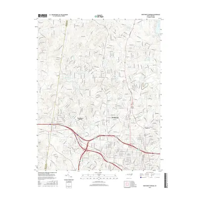
2016 Map of Northwest Durham
USGS Topo · Published 2016About this map
Durham and its northwestern environs are defined by a complex network of suburban development and protected water resources in this 2016 survey. The landscape is dominated by the winding course of the Eno River, which flows through the center of the sheet alongside major tributaries like Sevenmile Cr and Ellerbe Cr. The urbanization of the Piedmont is evident in the dense street grids of Braggtown and the sprawling campus of Duke Univ at the southern edge of the map.
Find a feature on this map
353 named features on this map. Tap any name to fly to it.
Don’t see what you’re looking for? This feature index may not catch every label — zoom into the map to look around manually.
Map Details
Editions of this 2016 Northwest Durham Map
This is the sole edition of this map. No revisions or reprints were ever made.
Other maps of this area

1943 · Durham South
USGS Topo · 1:62,500

1946 · Chapel Hill
USGS Topo · 1:24,000

1947 · Chapel Hill
USGS Topo · 1:31,680

1951 · Durham South
USGS Topo · 1:62,500

1951 · Durham North
USGS Topo · 1:62,500

1953 · Raleigh
USGS Topo · 1:250,000

1953 · Greensboro
USGS Topo · 1:250,000

1954 · Greensboro
USGS Topo · 1:250,000

1954 · Raleigh
USGS Topo · 1:250,000

1962 · Greensboro
USGS Topo · 1:250,000