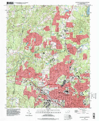
1993 Map of Northwest Durham
USGS Topo · Published 1998About this map
The sprawling campus of Duke University anchors the southern portion of this landscape, representing a period of significant academic and urban expansion in the 1990s. North of the city center of Durham, residential growth pushes toward the banks of the Eno River and Little River, while institutional presence is marked by the State Prison and the State Museum of Life and Science. The map reveals a dense network of suburban development intertwined with historic community hubs, such as Braggtown and Weaver.
Find a feature on this map
92 named features on this map. Tap any name to fly to it.
Don’t see what you’re looking for? This feature index may not catch every label — zoom into the map to look around manually.
Map Details
Editions of this 1993 Northwest Durham Map
This is the sole edition of this map. No revisions or reprints were ever made.
Historical Maps of Heritage Heights Through Time
16 maps found

1943 Durham South
Durham County, NC
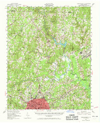
1951 Durham North
Durham County, NC
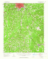
1951 Durham South
Durham County, NC
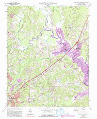
1973 Northeast Durham
Durham County, NC
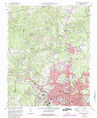
1973 Northwest Durham
Durham County, NC
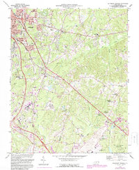
1973 Southeast Durham
Durham County, NC
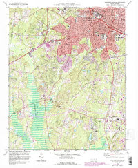
1973 Southwest Durham
Durham County, NC
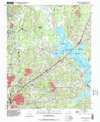
1993 Northeast Durham
Durham County, NC
1993 Northwest Durham
Durham County, NC
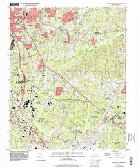
1993 Southeast Durham
Durham County, NC
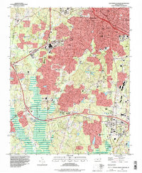
1993 Southwest Durham
Durham County, NC
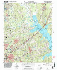
1999 Northeast Durham
Durham County, NC
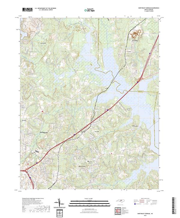
2022 Northeast Durham
Durham County, NC
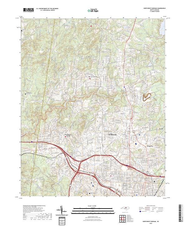
2022 Northwest Durham
Durham County, NC
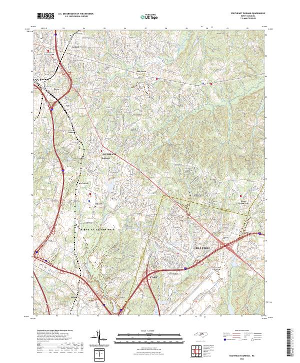
2022 Southeast Durham
Durham County, NC
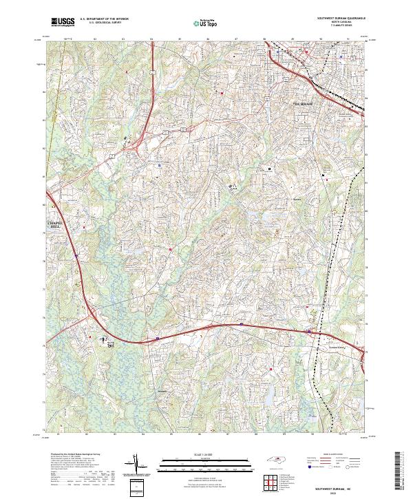
2022 Southwest Durham
Durham County, NC