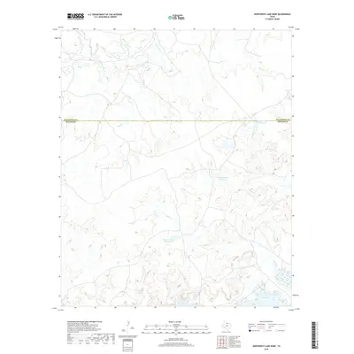
2019 Map of Northwest Lake Kemp
USGS Topo · Published 2019About this map
The northern reaches of Lake Kemp define the lower margin of this North Texas survey, where the waters meet the winding drainages of Fish Cr and Indian Cr. This landscape is primarily shaped by the complex hydrology of the Waggoner Ranch area, featuring a series of numbered catchments including Waggoner Lake Number 1, Waggoner Lake Number 2, and Waggoner Lake Number 4. These water management features reflect the region's long-standing cattle ranching heritage and the necessity of surface water storage in the rolling plains.
Find a feature on this map
12 named features on this map. Tap any name to fly to it.
Don’t see what you’re looking for? This feature index may not catch every label — zoom into the map to look around manually.
Map Details
Editions of this 2019 Northwest Lake Kemp Map
This is the sole edition of this map. No revisions or reprints were ever made.
Other maps of this area

1954 · Wichita Falls
USGS Topo · 1:250,000

1958 · Wichita Falls
USGS Topo · 1:250,000

1966 · Santa Rosa Lake
USGS Topo · 1:24,000

1966 · Santa Rosa Lake SW
USGS Topo · 1:24,000

1966 · Grayback
USGS Topo · 1:24,000

1966 · Soap Creek
USGS Topo · 1:24,000

1966 · Northeast Lake Kemp
USGS Topo · 1:24,000

1966 · Southeast Lake Kemp
USGS Topo · 1:24,000

1966 · Northwest Lake Kemp
USGS Topo · 1:24,000

1966 · Southwest Lake Kemp
USGS Topo · 1:24,000