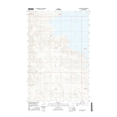
2017 Map of Norville Creek
USGS Topo · Published 2017About this map
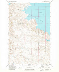
Fort Peck Lake and the deeply indented Dry Arm define the northeastern corner of this remote Garfield County landscape. The topography is characterized by a network of drainage systems feeding into the reservoir, notably Norville Creek and the southern reaches of Box Elder Creek Bay. Further south, the terrain becomes a complex series of ridges and valleys defined by North Fork Box Creek, Dawson Creek, and Sage Creek.
Find a feature on this map
16 named features on this map. Tap any name to fly to it.
Don’t see what you’re looking for? This feature index may not catch every label — zoom into the map to look around manually.
Map Details
Editions of this 2017 Norville Creek Map
This is the sole edition of this map. No revisions or reprints were ever made.
Other maps of this area

1954 · Jordan
USGS Topo · 1:250,000

1956 · Jordan
USGS Topo · 1:250,000

1958 · Jordan
USGS Topo · 1:250,000

1958 · Sage Creek Point
USGS Topo · 1:24,000
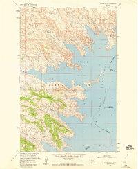
1958 · Skunk Coulee
USGS Topo · 1:24,000

1964 · Jordan
USGS Topo · 1:250,000
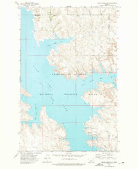
1972 · Spring Creek Bay
USGS Topo · 1:24,000
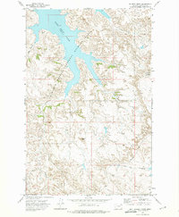
1972 · Gilbert Creek
USGS Topo · 1:24,000
1972 · Norville Creek
USGS Topo · 1:24,000

1972 · Ash Creek East
USGS Topo · 1:24,000