
1958 Map of Sage Creek Point
USGS Topo · Published 1960About this map
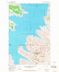
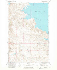
Fort Peck Reservoir dominates the landscape in this mid-century survey, its expansive waters of the Missouri River inundating the deep valleys of the Missouri River Basin. The map depicts a rugged shoreline where peninsulas like Sage Creek Point and Grave Point reach into the pool. Large portions of the land are dedicated to the Fort Peck Game Range, which spans the boundary between Garfield and Valley Counties.
Find a feature on this map
21 named features on this map. Tap any name to fly to it.
Don’t see what you’re looking for? This feature index may not catch every label — zoom into the map to look around manually.
Map Details
Editions of this 1958 Sage Creek Point Map
2 editions found
Other maps of this area

1954 · Jordan
USGS Topo · 1:250,000

1956 · Jordan
USGS Topo · 1:250,000

1958 · Jordan
USGS Topo · 1:250,000

1958 · Lewis Reservoir
USGS Topo · 1:24,000
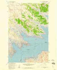
1958 · Seventh Point Buttes
USGS Topo · 1:24,000
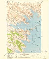
1958 · Skunk Coulee
USGS Topo · 1:24,000

1964 · Jordan
USGS Topo · 1:250,000
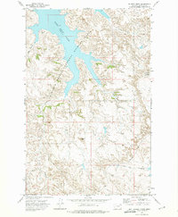
1972 · Gilbert Creek
USGS Topo · 1:24,000
1972 · Norville Creek
USGS Topo · 1:24,000
1972 · Ash Creek West
USGS Topo · 1:24,000