
1958 Map of Lewis Reservoir
USGS Topo · Published 1960About this map
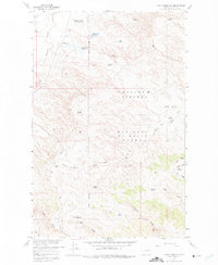
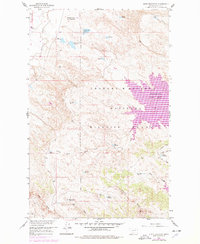
The Fort Peck Game Range dominates this landscape in Valley County, Montana, where a complex network of coulees and ridges drains into the northern reaches of the Fort Peck Reservoir. Mapped during the late 1950s as part of the Missouri River Basin development program, the area showcases extensive water management efforts, including the Willow Flat Diversion Dam and several small catchments such as Lewis Reservoir and Lost McMenomey Reservoir.
Find a feature on this map
34 named features on this map. Tap any name to fly to it.
Don’t see what you’re looking for? This feature index may not catch every label — zoom into the map to look around manually.
Map Details
Editions of this 1958 Lewis Reservoir Map
3 editions found
Other maps of this area

1943 · Glasgow
USGS Topo · 1:125,000

1954 · Jordan
USGS Topo · 1:250,000

1954 · Glasgow
USGS Topo · 1:250,000

1956 · Jordan
USGS Topo · 1:250,000

1957 · Glasgow
USGS Topo · 1:250,000

1958 · Glasgow
USGS Topo · 1:250,000

1958 · Jordan
USGS Topo · 1:250,000

1958 · Miller Coulee
USGS Topo · 1:62,500

1958 · Collins Ranch
USGS Topo · 1:62,500

1958 · Sage Creek Point
USGS Topo · 1:24,000