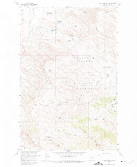
1958 Map of Lewis Reservoir
USGS Topo · Published 1975About this map
The Charles M Russell National Wildlife Range dominates this portion of Valley County, where the landscape is defined by an intricate network of coulees and ridges transitioning toward the Missouri River Basin. This mid-century survey illustrates a period of significant water management and land experimentation, highlighted by the Rentention Levees Experimental Area and the Willow Flat Diversion Dam. The area is densely populated with small-scale reservoirs such as Willow Creek Flat Reservoir, Lost McMenomey Reservoir, and VR 33 Reservoir, which speak to the complex ranching and wildlife preservation needs of this arid Montana environment.
Find a feature on this map
32 named features on this map. Tap any name to fly to it.
Don’t see what you’re looking for? This feature index may not catch every label — zoom into the map to look around manually.
Map Details
Editions of this 1958 Lewis Reservoir Map
3 editions found
Other maps of this area

1943 · Glasgow
USGS Topo · 1:125,000

1954 · Jordan
USGS Topo · 1:250,000

1954 · Glasgow
USGS Topo · 1:250,000

1956 · Jordan
USGS Topo · 1:250,000

1957 · Glasgow
USGS Topo · 1:250,000

1958 · Glasgow
USGS Topo · 1:250,000

1958 · Jordan
USGS Topo · 1:250,000

1958 · Miller Coulee
USGS Topo · 1:62,500

1958 · Collins Ranch
USGS Topo · 1:62,500

1958 · Lewis Reservoir
USGS Topo · 1:24,000