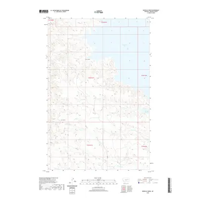
2020 Map of Norville Creek
USGS Topo · Published 2020About this map
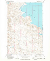
Fort Peck Lake and its intricate northern shoreline dominate this Garfield County landscape, centered around the Box Elder Creek Bay and the Dry Arm. This high-plains terrain is defined by a dense network of coulees and draws that drain toward the reservoir, illustrating the erosive power of the regional watershed. Local infrastructure is minimal, represented primarily by Haxby Rd, which navigates the ridges between complex drainage systems like Cut Coulee and Spring Draw.
Find a feature on this map
16 named features on this map. Tap any name to fly to it.
Don’t see what you’re looking for? This feature index may not catch every label — zoom into the map to look around manually.
Map Details
Editions of this 2020 Norville Creek Map
This is the sole edition of this map. No revisions or reprints were ever made.
Other maps of this area

1954 · Jordan
USGS Topo · 1:250,000

1956 · Jordan
USGS Topo · 1:250,000

1958 · Jordan
USGS Topo · 1:250,000

1958 · Sage Creek Point
USGS Topo · 1:24,000
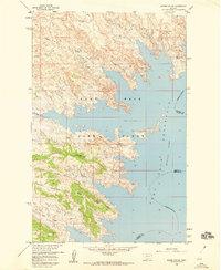
1958 · Skunk Coulee
USGS Topo · 1:24,000

1964 · Jordan
USGS Topo · 1:250,000
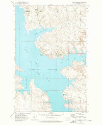
1972 · Spring Creek Bay
USGS Topo · 1:24,000
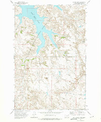
1972 · Gilbert Creek
USGS Topo · 1:24,000
1972 · Norville Creek
USGS Topo · 1:24,000

1972 · Ash Creek East
USGS Topo · 1:24,000