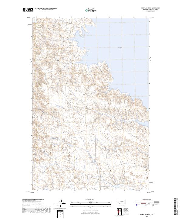
2024 Map of Norville Creek
USGS Topo · Published 2024About this map
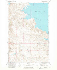
Charles M Russell National Wildlife Refuge dominates the eastern landscape of this Garfield County quadrangle, where the Missouri River drainage meets the expansive waters of Fort Peck Lake. The map details a transition from the rolling prairie into the deeply eroded drainages that define this portion of the Montana badlands. Complex water systems, including Norville Creek, Sage Creek, and the North Fork Box Creek, carve through the terrain toward the lake shore. Human presence is limited to the winding path of Haxby Rd and various remote coulees like Cut Coulee, illustrating the enduring isolation of this protected wildlife area. The survey reveals the intricate topography of breaks and draws, such as Spring Draw, which characterize the shoreline of one of the nation's largest reservoirs.
Find a feature on this map
15 named features on this map. Tap any name to fly to it.
Don’t see what you’re looking for? This feature index may not catch every label — zoom into the map to look around manually.
Map Details
Editions of this 2024 Norville Creek Map
This is the sole edition of this map. No revisions or reprints were ever made.
Other maps of this area

1954 · Jordan
USGS Topo · 1:250,000

1956 · Jordan
USGS Topo · 1:250,000

1958 · Jordan
USGS Topo · 1:250,000

1958 · Sage Creek Point
USGS Topo · 1:24,000
1958 · Skunk Coulee
USGS Topo · 1:24,000

1964 · Jordan
USGS Topo · 1:250,000
1972 · Spring Creek Bay
USGS Topo · 1:24,000
1972 · Gilbert Creek
USGS Topo · 1:24,000
1972 · Norville Creek
USGS Topo · 1:24,000

1972 · Ash Creek East
USGS Topo · 1:24,000