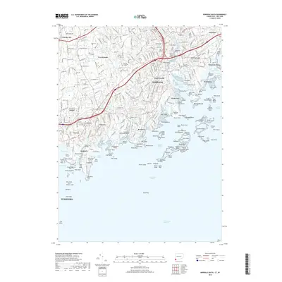
2018 Map of Norwalk South
USGS Topo · Published 2018About this map
Norwalk and its surrounding coastal neighborhoods define this Fairfield County landscape as it appeared in 2018. The map details the intricate shoreline of Long Island Sound, where the Norwalk River meets the sea at Norwalk Harbor. This area is characterized by a dense network of residential communities including South Norwalk, Rowayton, and Noroton Heights, interspersed with significant historical burial grounds like the Spring Grove Veterans Cem and Riverside Cem. The coastal geography is particularly complex, featuring numerous islands and points such as Chimon Island, Cockenoe Island, and Gregory Point. Beyond the urban centers, the map traces several small waterways including the Fivemile River and Goodwives River, which carve through the suburban landscape. Local education and religious history are represented by sites like Norwalk Community College and several denominational cemeteries, including Hebrew Cem and Saint Johns Cem, providing essential data for genealogists and local historians tracking the growth of these Connecticut shoreline towns.
Find a feature on this map
300 named features on this map. Tap any name to fly to it.
Don’t see what you’re looking for? This feature index may not catch every label — zoom into the map to look around manually.
Map Details
Editions of this 2018 Norwalk South Map
This is the sole edition of this map. No revisions or reprints were ever made.
Other maps of this area

1892 · Stamford
USGS Topo · 1:62,500

1892 · Norwalk
USGS Topo · 1:62,500

1893 · Stamford
USGS Topo · 1:62,500

1893 · Norwalk
USGS Topo · 1:62,500

1897 · Oyster Bay
USGS Topo · 1:62,500

1898 · Oyster Bay
USGS Topo · 1:62,500

1899 · Stamford
USGS Topo · 1:62,500

1900 · Oyster Bay
USGS Topo · 1:62,500

1901 · Northport
USGS Topo · 1:62,500

1903 · Northport
USGS Topo · 1:62,500