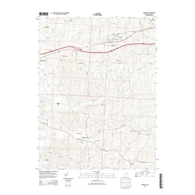
2013 Map of Norwich
USGS Topo · Published 2013About this map
Norwich and Chandlersville anchor this survey of Muskingum County, showing a landscape defined by deeply carved stream valleys and a network of rural settlements. The topography is dominated by the drainage of Salt Cr and its many tributaries, including Georges Run, Frog Run, and Pleasant Run. To the north, the corridor around New Concord and Sundale follows the high ground of the E Pike, while to the south, Buffalo Fork winds through a more dispersed agricultural area.
Find a feature on this map
117 named features on this map. Tap any name to fly to it.
Don’t see what you’re looking for? This feature index may not catch every label — zoom into the map to look around manually.
Map Details
Editions of this 2013 Norwich Map
This is the sole edition of this map. No revisions or reprints were ever made.
Other maps of this area

1908 · Conesville
USGS Topo · 1:62,500

1909 · Cambridge
USGS Topo · 1:62,500

1910 · Philo
USGS Topo · 1:62,500

1910 · Conesville
USGS Topo · 1:62,500

1911 · Cumberland
USGS Topo · 1:62,500

1912 · Cambridge
USGS Topo · 1:62,500

1949 · Clarksburg
USGS Topo · 1:250,000

1951 · Canton
USGS Topo · 1:250,000

1953 · Canton
USGS Topo · 1:250,000

1956 · Clarksburg
USGS Topo · 1:250,000