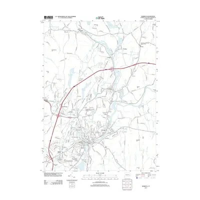
2012 Map of Norwich
USGS Topo · Published 2012About this map
Norwich serves as a major hub where the Yantic River and Shetucket River converge at Chelsea Landing to form the head of the Thames. This 2012 landscape reflects centuries of layered history, from the Monhegan Tribal Memorial and Royal Monhegan Burial Ground to the early colonial roots preserved at the Old Uptown Burying Ground. The map highlights the area's industrial and maritime foundations, showing the Norwich Marina, Central Wharf, and the path of the Central Vermont railroad. Surrounding settlements like Taftville, Greenville, and Norwichtown are intricately documented alongside significant topography such as Jail Hill and Mount Pleasant. Cultural and educational landmarks, including Three Rivers Community College and the Sacred Heart University Lisbon Campus, mark the modernization of these historic riverfront communities.
Find a feature on this map
275 named features on this map. Tap any name to fly to it.
Don’t see what you’re looking for? This feature index may not catch every label — zoom into the map to look around manually.
Map Details
Editions of this 2012 Norwich Map
This is the sole edition of this map. No revisions or reprints were ever made.
Other maps of this area

1889 · Stonington
USGS Topo · 1:62,500

1889 · Moosup
USGS Topo · 1:62,500

1892 · New London
USGS Topo · 1:62,500

1892 · Norwich
USGS Topo · 1:62,500

1893 · Moosup
USGS Topo · 1:62,500

1893 · Stonington
USGS Topo · 1:62,500

1893 · New London
USGS Topo · 1:62,500

1920 · Moosup
USGS Topo · 1:62,500

1921 · New London
USGS Topo · 1:62,500

1921 · Stonington
USGS Topo · 1:62,500