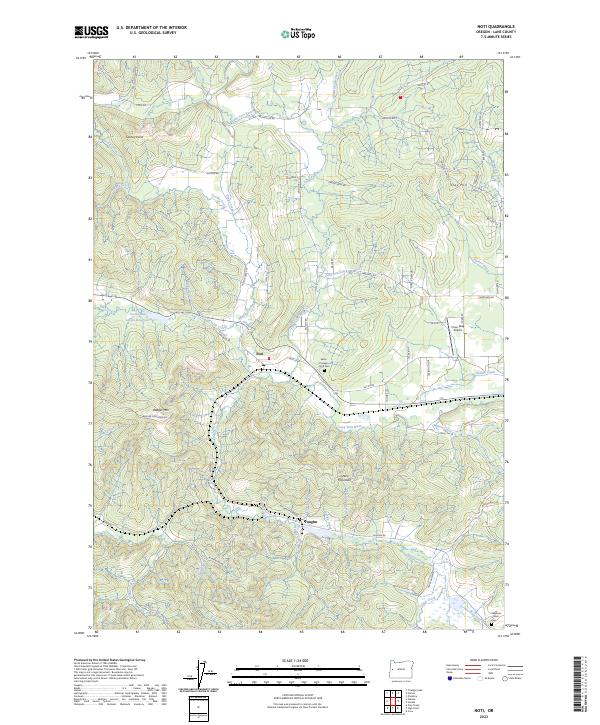
2023 Map of Noti
USGS Topo · Published 2023About this map
The Long Tom River serves as the central drainage for this section of Lane County, where the small settlements of Noti and Vaughn sit at the crossroads of timber-covered hills and valley bottomlands. The landscape is defined by its numerous small waterways, including Poodle Creek, Elk Creek, and Wildcat Creek, which carve through the terrain between heights like Badger Mtn and Green Mountain.
Find a feature on this map
73 named features on this map. Tap any name to fly to it.
Don’t see what you’re looking for? This feature index may not catch every label — zoom into the map to look around manually.
Map Details
Editions of this 2023 Noti Map
This is the sole edition of this map. No revisions or reprints were ever made.
Other maps of this area

1909 · Elmira
USGS Topo · 1:62,500

1922 · Elmira
USGS Topo · 1:62,500

1941 · Blachly
USGS Topo · 1:62,500

1942 · Elmira
USGS Topo · 1:62,500

1942 · Blachly
USGS Topo · 1:62,500

1942 · Crow
USGS Topo · 1:62,500

1942 · Roman Nose Mtn
USGS Topo · 1:62,500

1945 · Crow
USGS Topo · 1:62,500

1945 · Roman Nose Mtn
USGS Topo · 1:62,500

1953 · Salem
USGS Topo · 1:250,000