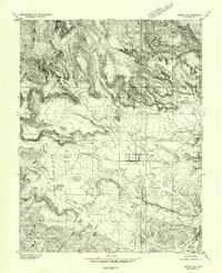
1952 Map of Notom 2 SW
USGS Topo · Published 1954About this map
Teasdale and Torrey anchor this mid-century portrait of southern Utah's agricultural and high-desert landscape. The Fremont River serves as the primary water source, its flow managed through a complex network of infrastructure including a Siphon, a Dam, and numerous labeled Ditch segments that irrigate the Teasdale Bench and surrounding flats. This reliance on water management is evident in the settlement patterns, where homes and fields cluster near the river and its diverted channels while the surrounding high ground remains largely undeveloped.
Find a feature on this map
23 named features on this map. Tap any name to fly to it.
Don’t see what you’re looking for? This feature index may not catch every label — zoom into the map to look around manually.
Map Details
Editions of this 1952 Notom 2 SW Map
This is the sole edition of this map. No revisions or reprints were ever made.
Other maps of this area
1885 · Fish Lake
USGS Topo · 1:250,000
1896 · Fish Lake
USGS Topo · 1:250,000
1952 · Notom 2 NW
USGS Topo · 1:24,000
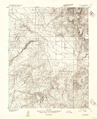
1952 · Loa 1 SE
USGS Topo · 1:24,000
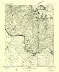
1952 · Notom 3 NW
USGS Topo · 1:24,000
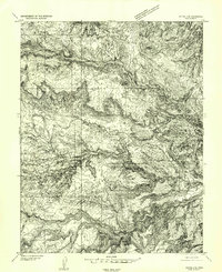
1952 · Notom 2 SE
USGS Topo · 1:24,000
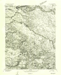
1952 · Notom 2 NE
USGS Topo · 1:24,000
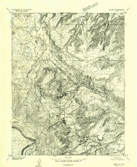
1952 · Notom 3 NE
USGS Topo · 1:24,000
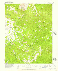
1952 · Grover
USGS Topo · 1:62,500
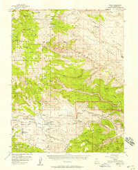
1952 · Torrey
USGS Topo · 1:62,500