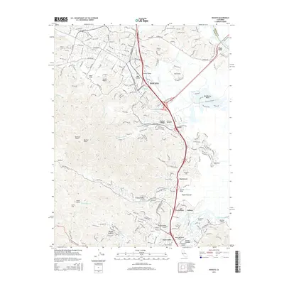
2015 Map of Novato
USGS Topo · Published 2015About this map
Novato and its historic Old Town core serve as the central hub of this northern Marin County landscape, where suburban expansion meets the winding wetlands of the Petaluma River. The corridor is defined by the route of the Northwestern Pacific RR and US Highway 101, which together bridge the gap between the tidal marshes of Bel Marin Keys and the elevated terrain of Big Rock Ridge.
Find a feature on this map
44 named features on this map. Tap any name to fly to it.
Don’t see what you’re looking for? This feature index may not catch every label — zoom into the map to look around manually.
Map Details
Editions of this 2015 Novato Map
This is the sole edition of this map. No revisions or reprints were ever made.
Other maps of this area

1895 · San Francisco
USGS Topo · 1:62,500

1897 · Tamalpais
USGS Topo · 1:62,500

1899 · San Francisco
USGS Topo · 1:62,500

1902 · Napa
USGS Topo · 1:125,000

1914 · Petaluma
USGS Topo · 1:62,500

1915 · San Francisco
USGS Topo · 1:62,500

1916 · Mare Island
USGS Topo · 1:62,500

1941 · Tamalpais
USGS Topo · 1:62,500

1942 · Mare Island
USGS Topo · 1:62,500

1942 · Petaluma
USGS Topo · 1:62,500