Loading...
Loading map...2021 Map of Novelty
USGS Topo · Published 2021About this map
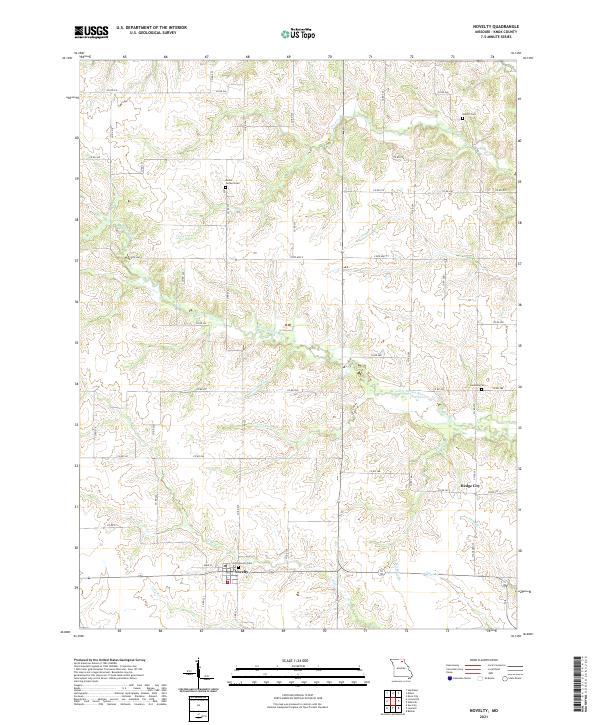
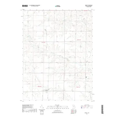
The settlement of Novelty anchors the southern portion of this Knox County landscape, situated at the junction of State Hwy F and State Highway 156. The surrounding terrain is defined by a dense network of tributaries feeding into larger water bodies like the Little Fabius River and the N River. These waterways, including Coon Cr, Norwegian Cr, and Pleasant Run, create a deeply dissected topography of ridges and draws characteristic of northeastern Missouri's plains.
Find a feature on this map
66 named features on this map. Tap any name to fly to it.
Don’t see what you’re looking for? This feature index may not catch every label — zoom into the map to look around manually.
Map Details
Date Portrayed2021
Date Published2021
PublisherU.S. Geological Survey
Map TypeTopographic
Scale1:24,000
Physical Dimensions24 x 29 inches
Editions of this 2021 Novelty Map
This is the sole edition of this map. No revisions or reprints were ever made.
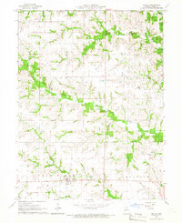
Historical Maps of Novelty Through Time
5 maps found
Featured Locations
Source Details
SourceU.S. Geological Survey
CopyrightPublic Domain