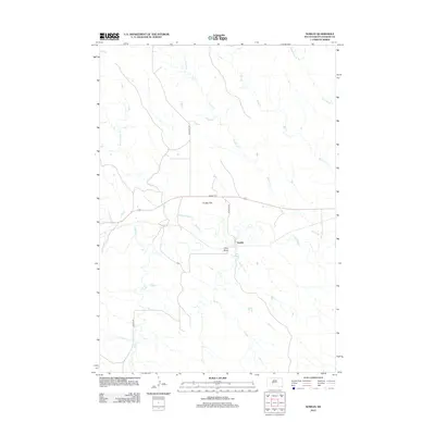
2012 Map of Nowlin
USGS Topo · Published 2012About this map
Nowlin sits at a geographic crossroads in Haakon County, where the meandering Bad River meets a network of seasonal prairie streams. This landscape is defined by its wide, open drainage systems, including the expansive Kunkle Flat and the low-lying Hay Draw. The map documents the persistent rural infrastructure of the region, anchored by the Nowlin Cem and a grid of local routes like Nowlin Rd and Ottumwa Rd. The hydrology of the western plains is on full display here, with numerous named watercourses such as Nowlin Cr, Sarah Laribee Cr, and Mud Cr carving distinct paths through the terrain. This survey provides a modern look at a sparsely populated area where the names of creeks and flats remain the primary landmarks for local navigation and land use.
Find a feature on this map
14 named features on this map. Tap any name to fly to it.
Don’t see what you’re looking for? This feature index may not catch every label — zoom into the map to look around manually.
Map Details
Editions of this 2012 Nowlin Map
This is the sole edition of this map. No revisions or reprints were ever made.
Other maps of this area

1953 · Belvidere NE
USGS Topo · 1:24,000

1954 · Belvidere NW
USGS Topo · 1:24,000

1954 · Powell
USGS Topo · 1:24,000

1954 · Midland
USGS Topo · 1:24,000

1954 · Nowlin
USGS Topo · 1:24,000

1954 · Pierre
USGS Topo · 1:250,000

1955 · Martin
USGS Topo · 1:250,000

1958 · Pierre
USGS Topo · 1:250,000

1958 · Martin
USGS Topo · 1:250,000

1972 · Stamford NW
USGS Topo · 1:24,000