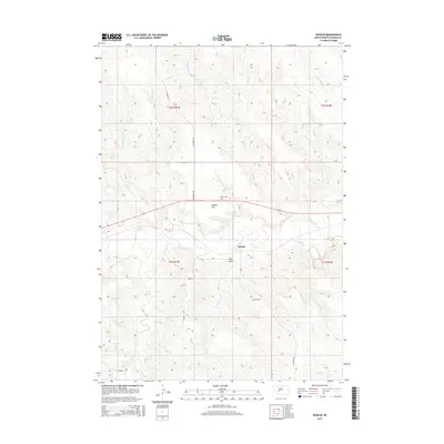
2015 Map of Nowlin
USGS Topo · Published 2015About this map
The Bad River meanders across the center of this Haakon County landscape, carving a wide valley through the surrounding high plains. The small settlement of Nowlin sits near the riverbanks, serving as a focal point for a remote ranching and farming community. The geography here is defined by significant draws and flats, most notably Kunkle Flat and Hay Draw, which illustrate the erosion patterns of the northern plains.
Find a feature on this map
19 named features on this map. Tap any name to fly to it.
Don’t see what you’re looking for? This feature index may not catch every label — zoom into the map to look around manually.
Map Details
Editions of this 2015 Nowlin Map
This is the sole edition of this map. No revisions or reprints were ever made.
Other maps of this area

1953 · Belvidere NE
USGS Topo · 1:24,000

1954 · Belvidere NW
USGS Topo · 1:24,000

1954 · Powell
USGS Topo · 1:24,000

1954 · Midland
USGS Topo · 1:24,000

1954 · Nowlin
USGS Topo · 1:24,000

1954 · Pierre
USGS Topo · 1:250,000

1955 · Martin
USGS Topo · 1:250,000

1958 · Pierre
USGS Topo · 1:250,000

1958 · Martin
USGS Topo · 1:250,000

1972 · Stamford NW
USGS Topo · 1:24,000