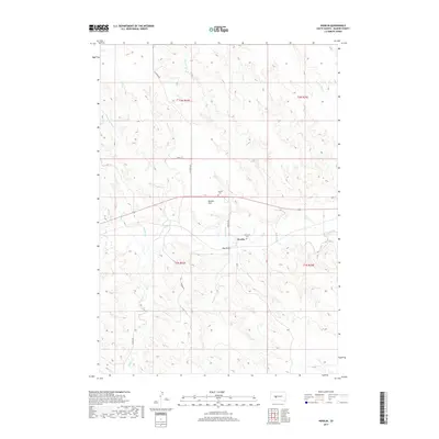
2017 Map of Nowlin
USGS Topo · Published 2017About this map
Bad River meanders across this Haakon County landscape, defining the topography of a region marked by extensive drainage networks and broad lowlands. The small settlement of Nowlin serves as a central point of interest, situated near the intersection of Nowlin Rd and the primary east-west corridor. Genealogists and local researchers will find significant value in the location of Nowlin Cem and Raymond Cem, which sit north of the river near Kunkle Flat. The terrain is characterized by numerous named tributaries, including Nowlin Cr, Sarah Laribee Cr, and Witcher Holes Cr, which carve into the surrounding plains. To the south, Hay Draw and the course of Indian Cr illustrate the intricate water systems that have shaped the agricultural and ranching history of this section of South Dakota.
Find a feature on this map
19 named features on this map. Tap any name to fly to it.
Don’t see what you’re looking for? This feature index may not catch every label — zoom into the map to look around manually.
Map Details
Editions of this 2017 Nowlin Map
This is the sole edition of this map. No revisions or reprints were ever made.
Other maps of this area

1953 · Belvidere NE
USGS Topo · 1:24,000

1954 · Belvidere NW
USGS Topo · 1:24,000

1954 · Powell
USGS Topo · 1:24,000

1954 · Midland
USGS Topo · 1:24,000

1954 · Nowlin
USGS Topo · 1:24,000

1954 · Pierre
USGS Topo · 1:250,000

1955 · Martin
USGS Topo · 1:250,000

1958 · Pierre
USGS Topo · 1:250,000

1958 · Martin
USGS Topo · 1:250,000

1972 · Stamford NW
USGS Topo · 1:24,000