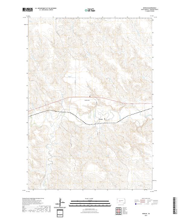
2021 Map of Nowlin
USGS Topo · Published 2021About this map
The Bad River winds through the heart of this Haakon County landscape, creating a complex network of drainages and draws typical of the central South Dakota plains. The settlement of Nowlin serves as the focal point for this rural area, situated near the transition from the broad expanse of Kunkle Flat to the more dissected terrain of Hay Draw. Historical connections are preserved in the landscape through family-named watercourses such as Sarah Laribee Cr and Jack Dailey Cr, which feed into the larger river system.
Find a feature on this map
21 named features on this map. Tap any name to fly to it.
Don’t see what you’re looking for? This feature index may not catch every label — zoom into the map to look around manually.
Map Details
Editions of this 2021 Nowlin Map
This is the sole edition of this map. No revisions or reprints were ever made.
Other maps of this area

1953 · Belvidere NE
USGS Topo · 1:24,000

1954 · Belvidere NW
USGS Topo · 1:24,000

1954 · Powell
USGS Topo · 1:24,000

1954 · Midland
USGS Topo · 1:24,000

1954 · Nowlin
USGS Topo · 1:24,000

1954 · Pierre
USGS Topo · 1:250,000

1955 · Martin
USGS Topo · 1:250,000

1958 · Pierre
USGS Topo · 1:250,000

1958 · Martin
USGS Topo · 1:250,000

1972 · Stamford NW
USGS Topo · 1:24,000