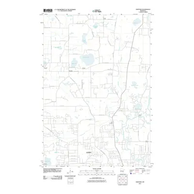
2010 Map of Nowthen
USGS Topo · Published 2010About this map
Nowthen and the northern edge of Ramsey define this Anoka County landscape at the turn of the 21st century. The area is characterized by a dense network of water bodies and drainage systems, including the winding path of the Rum River and its tributaries like Trott Brook and Ford Brook. Numerous lakes, such as Pickerel Lake, Goose Lake, and Bear Lake, are scattered across the terrain, reflecting the post-glacial topography of central Minnesota.
Find a feature on this map
61 named features on this map. Tap any name to fly to it.
Don’t see what you’re looking for? This feature index may not catch every label — zoom into the map to look around manually.
Map Details
Editions of this 2010 Nowthen Map
This is the sole edition of this map. No revisions or reprints were ever made.
Other maps of this area

1902 · Anoka
USGS Topo · 1:62,500

1909 · Rockford
USGS Topo · 1:62,500

1916 · St. Francis
USGS Topo · 1:62,500

1919 · St. Francis
USGS Topo · 1:62,500

1953 · Stillwater
USGS Topo · 1:250,000

1955 · Anoka
USGS Topo · 1:24,000

1955 · Coon Rapids
USGS Topo · 1:24,000

1955 · Anoka
USGS Topo · 1:62,500

1955 · Stillwater
USGS Topo · 1:250,000

1958 · Stillwater
USGS Topo · 1:250,000