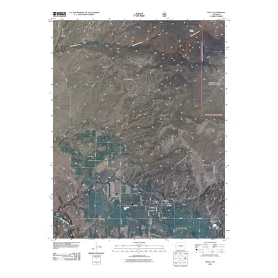
2011 Map of Nucla
USGS Topo · Published 2011About this map
Nucla serves as the focal point of this western Colorado landscape, showing the town's street grid and essential infrastructure near the San Miguel River. The area's agricultural foundations are evident through an extensive irrigation network, including the C C Ditch and its various branches like the C C Ditch - South Lateral, which sustain the surrounding parks and ranch lands. To the north and west, the terrain rises into distinct plateaus and basins, such as Gypsy Park and Second Park, where the high-desert character of Montrose County becomes prominent.
Find a feature on this map
58 named features on this map. Tap any name to fly to it.
Don’t see what you’re looking for? This feature index may not catch every label — zoom into the map to look around manually.
Map Details
Editions of this 2011 Nucla Map
This is the sole edition of this map. No revisions or reprints were ever made.
Other maps of this area

1916 · Paradox Valley
USGS Topo · 1:125,000

1922 · Paradox Valley
USGS Topo · 1:125,000

1948 · Uravan
USGS Topo · 1:24,000

1948 · Naturita NW
USGS Topo · 1:24,000

1949 · Uravan
USGS Topo · 1:24,000

1949 · Naturita NW
USGS Topo · 1:24,000

1949 · Atkinson Creek
USGS Topo · 1:24,000

1950 · Atkinson Creek
USGS Topo · 1:24,000

1956 · Moab
USGS Topo · 1:250,000

1959 · Moab
USGS Topo · 1:250,000