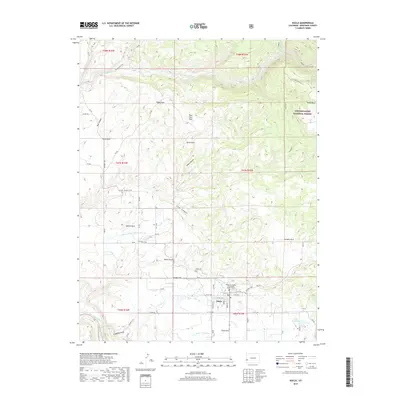
2019 Map of Nucla
USGS Topo · Published 2019About this map
Nucla sits at the heart of this high-desert agricultural landscape, where the local economy is visibly shaped by the C C Ditch irrigation system. The community's civic footprint is anchored by the Montrose County Courthouse Annex - Nucla and the nearby Nucla Cem, surrounded by a grid of numbered roads and avenues. The terrain is defined by a series of flats and canyons, including Second Park and Spradlin Park, which give way to the more varied elevations of the Uncompahgre National Forest to the east.
Find a feature on this map
61 named features on this map. Tap any name to fly to it.
Don’t see what you’re looking for? This feature index may not catch every label — zoom into the map to look around manually.
Map Details
Editions of this 2019 Nucla Map
This is the sole edition of this map. No revisions or reprints were ever made.
Other maps of this area

1916 · Paradox Valley
USGS Topo · 1:125,000

1922 · Paradox Valley
USGS Topo · 1:125,000

1948 · Uravan
USGS Topo · 1:24,000

1948 · Naturita NW
USGS Topo · 1:24,000

1949 · Uravan
USGS Topo · 1:24,000

1949 · Naturita NW
USGS Topo · 1:24,000

1949 · Atkinson Creek
USGS Topo · 1:24,000

1950 · Atkinson Creek
USGS Topo · 1:24,000

1956 · Moab
USGS Topo · 1:250,000

1959 · Moab
USGS Topo · 1:250,000