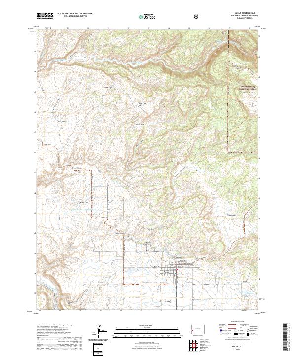
2022 Map of Nucla
USGS Topo · Published 2022About this map
Nucla serves as the primary hub of this high-desert landscape in Montrose County, where the agricultural grid meets the wooded rises of the Uncompahgre National Forest. The town’s layout is punctuated by civic landmarks like the Montrose County Courthouse Annex Nucla and the Nucla Cem, while its water security is managed through the Town Reservoir and an intricate network of irrigation channels including the C C Ditch and its various laterals.
Find a feature on this map
56 named features on this map. Tap any name to fly to it.
Don’t see what you’re looking for? This feature index may not catch every label — zoom into the map to look around manually.
Map Details
Editions of this 2022 Nucla Map
This is the sole edition of this map. No revisions or reprints were ever made.
Other maps of this area

1916 · Paradox Valley
USGS Topo · 1:125,000

1922 · Paradox Valley
USGS Topo · 1:125,000

1948 · Uravan
USGS Topo · 1:24,000

1948 · Naturita NW
USGS Topo · 1:24,000

1949 · Uravan
USGS Topo · 1:24,000

1949 · Naturita NW
USGS Topo · 1:24,000

1949 · Atkinson Creek
USGS Topo · 1:24,000

1950 · Atkinson Creek
USGS Topo · 1:24,000

1956 · Moab
USGS Topo · 1:250,000

1959 · Moab
USGS Topo · 1:250,000